Nuwara Eliya
The famous upcountry town Nuwara Eliya is also known as Little England in the historical Malaya Rata. Nuwara Eliya is located 1868 m (6128 ft.) above sea level in the Nuwara Eliya District.
Nuwara Eliya is a city in Sri Lanka's Central Province. Its name translates as "City on the Plain (Table Land)" or "City of Light." Nuwara Eliya city is the administrative capital of the Nuwara Eliya District, and it has a beautiful landscape and a temperate climate.
It has a Subtropical Highland climate due to its high elevation. The average annual temperature ranges between 11 and 20 degrees Celsius, with the lowest recorded temperature being 0.4 degrees Celsius and the highest recorded temperature being 27.7 degrees Celsius. The monthly rainfall ranges from 70 to 225 mm, with an average annual rainfall of 1900 mm. The highest rainfall occurs in October, and the lowest rainfall occurs in March. Throughout the year, the relative humidity ranges from 65% to 87%.
How to get to Nuwara Eliya
The district of Nuwara Eliya covers an area of 1741 square kilometers. It includes the electorates of Nuwara Eliya, Maskeliya, Kothmale, Wapane, and Hanguranketha. Nuwara Eliya can be reached via the Kandy-Nuwara Eliya road via Gampola, the Kandy-Nuwara Eliya road via Hanguranketha and Walapane, the Badulla-Nuwara Eliya road, the Haputale-Nuwara Eliya road, the Avissavella-Nuwara Eliya road via Hatton, and the Bandarawela-Nuwara Eliya road Nuwara Eliya is approximately 75 km from Kandy (along the A5 Main Road) and approximately 90 km from Ginigathhena (along A7 Main Road). 180 km from Colombo.
Places to Visit in Nuwara Eliya
- Ambewela
- Gregory lake
- Victoria park
- Victoria museum
- Galway's land national park
- Moon plains
- Shanthipura
- Kikiliyamana mountain
- Single tree hill
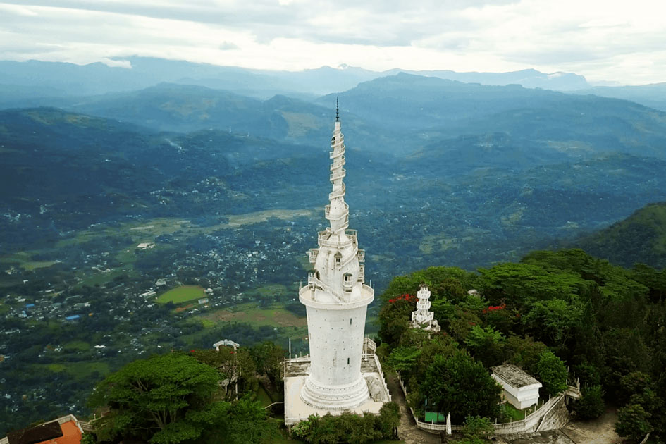
- Pidurutalagala
- Lovers leap
- Horton plains national park
- Hakgala botanical garden
- Nuwara Eliya post office
- Pedro tea factory
Recomended Hotels in Nuwara Eliya
Before British Rule in Nuwara Eliya (1815)
Dr.John Davy wrote the earliest written account of Nuwara Eliya in the last few centuries. During a trekking expedition in 1819, he paid a visit to Nuwara Eliya. He arrived in Nuwara Eliya from Uva. Nuwara Eliya was not inhabited at the time. The Nuwara Eliya valley was densely forested on the slopes and grassy patinas in the valleys. He and his group were only passing through. There were ruins of previous irrigation systems, as well as an inscription stone dating between 900 and 1000 AD that stated offerings to a Buddhist vihara. This was later relocated to the premises of Nuwara Eliya's Kachcheri.
The name Nuwara Eliya means "City of Light." Throughout the island's history, " Nuwara " has meant a Royal Township. The meaning of "Eliya" is unclear, but it could have been Patana areas found among the highland's dense forests that receive full sunshine, thus receiving ample "light" or "Eliya." A few more such names appear in the vicinity of Nuwara Eliya, including Sita Eliya, Maha Eliya (Horton Plains), and Handa Eliya, all of which can be attributed to plains. An elephant hunting party had visited the Nuwara Eliya plains in 1826. Elephants used to frequent the Nuwara Eliya valley and hillsides back then when the undisturbed forest regions covered much of the highland land area. The then-Governor Edward Barnes heard about the hunting party's experience with the 36 F° climate and geological features of the area. He later initiated the road from Ramboda to Nuwara Eliya, making Nuwara Eliya accessible to entrepreneurs who gradually transformed Nuwara Eliya into a model British village area.
The surroundings of Nuwara Eliya
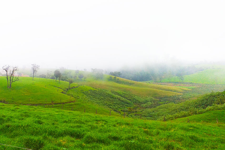
Nuwara Eliya is geographically located in the middle of the country's highest Peneplain, a level land surface in an advanced stage of erosion. It consists of a network of massifs, mountain ranges, plateaus, and basins. The peneplain's southern border runs approximately 50 miles from Sri Pada or Adam's Peak (7,360 ft.) on the western side to Namunukula (6,360 ft.) on the eastern side. The High Plains run from the middle of this Southern border to the north, between Kirigalpotta (7,875 ft.) and Pidurutalagala (8292 ft.). Nuwara Eliya (6128 ft.) is located near the Pidurutalagala mountain. Horton Plains, Moon Plains, Kandepola-Sita Eliya Plains, and Elk Plains are all scenic grasslands located in this altitude range of 6000 to 7000 ft., a few tens of kilometers from Nuwara Eliya.
The Sri Lankan highlands are a large upheaval of land mass covering approximately 4000 square miles. Four large ledges rise from the base of this massive upheaval. They are made up of mountains ranging in elevation from 5000 to 8000 ft. above sea level. The highest peak among these is Pidurutalagala, which stands at 8280 ft. It is located approximately 3 miles north of Nuwara Eliya. Nuwara Eliya is located on a plain that rises to 6000 ft. above sea level. This plan is about 6 miles long and 12 miles wide. This area's circumference is estimated to be around 15 miles. Before any plantations were established, the entire plain was divided into two sections, with a thick strip of jungle appearing in the center. This plain was surrounded by steep rocky mountains that were thickly forested from the plain's level up to the tops of those steep and irregularly shaped mountains. Nuwara Eliya's temperature never approaches tropical levels, but it can reach lows that cause ice flakes on grass Patna in the early mornings. The Nuwara Eliya plains are accessible via four gaps in the surrounding hills. The gap to the north-east leads to Kotmale valley, the gap to the south-east leads to Uva basin, the gap to the west leads to Dimbula valley, and the gap to the east leads to Kandapola and Udapussellawa. Lover's Pimma (7098 ft., 2 miles from Nuwara Eliya), Kudugala (7607 ft.), Parryola (7746 ft.), Kirigalpotta (7832 ft.), and One Tree Hill are other nearby mountains. Other noteworthy mountains and locations nearby 6903 ft., 1 mile from Nuwara Eliya.