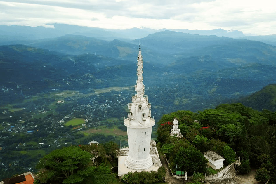
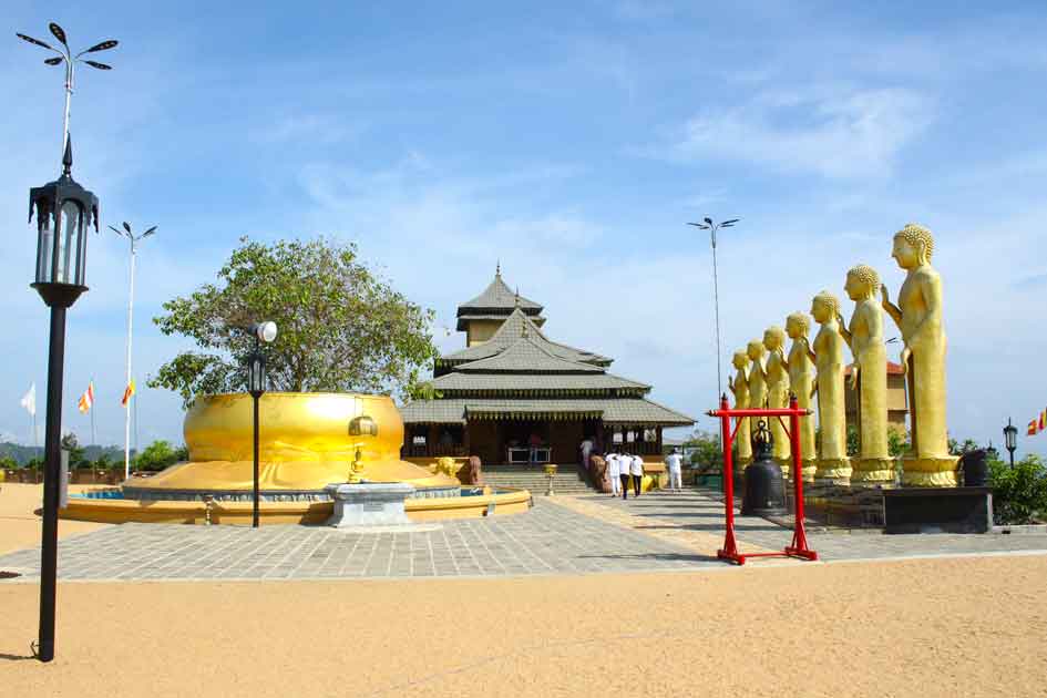
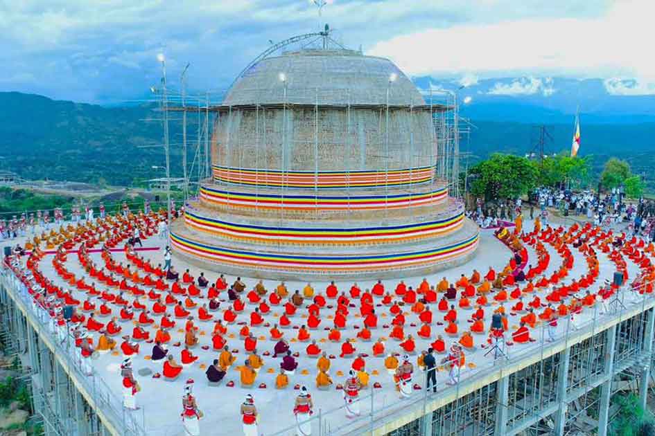
Sri Pada (Adam's Peak)
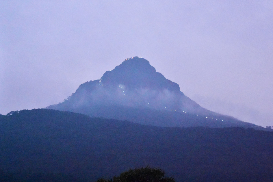
Sri Pada (Adam's Peak) is a holy mountain. The mountain is a conical mountain 2,243 m (7,359 ft) tall in Central Sri Lanka.
This holy mountain is known by many names, including Samantakuta, Samanhela, Samanalakanda, and Samanalagira.
The striking pyramid of Adam's Peak 2,243 m (7,360 ft) is without a doubt the most impressive. A crater in the rocky summit resembles a massive footprint, which has long been revered as a sacred symbol. Buddhists identified it as the Buddha's footprint, Hindus as Shiva's, and Muslims as Adam's. It was later attributed to St. Thomas the Apostle by the Portuguese.
The Mahawamsa recounts how, on Load Buddha's third visit to Lanka, the departing Load Buddha imprinted the sacred footprint, but the site did not become a regular Buddhist pilgrimage site until the Polonnaruwa period when Vijayabahu I built pilgrim resting houses and King Nissankamalla himself climbed to the top and worshipped the spot in 1201.
History and Legends
The pilgrim season to Sri Pada (also known as Samantakuta, Samanhela, Samangira, Samanalakanda, and Samanalakanda) begins on the 'Unduvap' full moon day in December and ends on the 'Vesak' full moon day in May. During this open semester, pilgrims ascend the mountain to pay homage to the sacred footmark, which is revered by Buddhists, Christians, Hindus, and Muslims alike, according to their respective beliefs. As a result, Sri Pada is the only mountain in the world that receives benefactions and veneration from devotees of various faiths.
The mountain summit is a small plateau, and it is 23 m (74 ft). in length and 7 m (24 ft). in breadth with a total area of 1,776 sq. ft. There is a massive boulder about 2.5 m (8 ft) tall. It is the highest point of the mountain which is the sacred footmark lies. According to mythical conception woven into the fabric of native folklore, the true impression of the footmark lies beneath the boulder on a blue sapphire. To protect it from sacrilegious profanation, God Sakra had covered it with a boulder.
The footmark is a superficial flow 68 in. long, 31 in. wide at the toes, and 29 in. wide at the heel. It is embellished with a brass margin and a few gems. The cavity bears a passing resemblance to a human foot, but its size is enormous, and it appears to be both natural and artificial. Small raised partitions represent the interstices between the toes.
Buddhists believe that the footmark on the summit of Sri Pada is that of the Load Buddha, who kept the imprint of his left foot as a relic worthy of veneration during his third visit to Kelaniya 2,580 years ago. He did so at the request of the local god Saman. The tutelary deity of the mountain wilderness whose divine eye is said to be fixed on Deraniyagala, Boltumbe, Ellakkala, Nivitigala, and the Benasamanalagala mountain.
To overcome his fear of patricidal sin for killing his father, King Mayadunne of Sitawaka, and on the advice of the sectarian priest Arittakivendu Perumal, the apostate Rajasinha I (1581-1592) delegated administration of the holy mountain to 'Andis' (a non-brahminical Saiva sect) from South India. They made a lot of money off of the offerings made to the sacred Foot, which included gold, gems, jewelry, silver, cash, clothing, and so on.
The open semester begins with the removal of God Saman statues, a replica of his divine white elephant, and other sacred paraphernalia from the Galpottawela Raja Maha Vihara in Pelmadulla, built by King Kirti Sri Rajasinha. According to ritual, the incumbent priest of Sri Pada and the working committee, comprised of Buddhist clergy and laity, enter the devale's shrine room and, a day before the full moon day, take steps to remove the sacred items to the summit after paying homage to the Load Buddha. The procession stops en route at the Maha Saman Devale in Ratnapura, where the devale's 'Kapurala' performs a ritual invoking God Saman's blessings for a trouble-free journey.
The procession used to take the Ratnapura route but now a motorcade departs for the summit via Ratnapura, Avissawella, Yatiyantota, Kitulgala, Ginigathena, Hatton, Dickoya, and Maskeliya, ending at the Delhousie bazaar (Nallatanniya), where vehicular transport facilities end. As the full moon Poya day approaches, they arrive at the summit and after performing formal rituals, the 'Kapurala' places the statues dedicated to the God inside a niche beneath the footmark.
The Hatton path via Maskeliya and the Ratnapura path via Kuruwita are the two historic routes to the summit. The Hatton path was known as the Rajamawatha in ancient times, and most kings used it to reach the summit via Ambagamuwa, Kehelgamuwa, Horakada, Dagampitiya, Makulumulla, Hangarapitiya, and Seetagangula (parent stream of the Mahaveli Ganga), from where the actual ascent begins. This route gained prominence during the Gampola period (1347-1412), which followed the Mahaveli Ganga from Gangasiripura (now Gampola), and Bhuvanekhabahu IV was the first king to go on pilgrimage to Sri Pada via this route (1347-1352).
Pilgrims
The Ratnapura route to Seetagangula was the oldest, passing through Gilimale, Eratna, Kuruwita, Malwala, and Palabaddala (parent stream of the Kaluganga). Even today, pilgrims regard this route as difficult and infested with leeches due to the dampness of the climate. Pilgrims must struggle up and down narrow passes to reach Palabaddala, the last inhabited station on the route.
The path is narrow, rugged, and rocky in places, and densely wooded in others. Vijayabahu I was the first king to go on pilgrimage along this route during the Polonnaruwa period (1058-1114).
Along the way, he set up rest stops for pilgrims. The Ambagamuwa rock edict and the Panakaduwa copper plate attest to his generosity. It was King Kirti Nissankamalla (1187-1196) who led his four-man army on pilgrimage.
Seetagangula (the icy water torrent) is a significant landmark on the way to the summit. It rushes down a stream obstructed by masses of rock formation from the wooded height. After performing their ablutions the pilgrims eat sparingly some rest for a while chewing betel and after observing 'Pansil' and making obeisance to God Saman and after trying 'Panduru' (a coin wrapped in a clean white cloth as an offering for protection) they begin ascending the mountain to reach the summit with a break at 'Indikatupahana' a popular rest camp.
Pilgrims used to climb the mountain by stepping on bare rock and clinging to chains attached to iron posts drilled into the rocky floor. In his book Jungle Tide, John Still describes how a group of pilgrims fell into the precipice below when the railing they were holding on to broke loose, most likely due to weight.
The most dangerous part of the climb was the 'Mahagiridambe' point, where pilgrims exposed to strong winds were at risk of being carried away. Now long series of concrete steps leads to the summit.
Pilgrims strive to get to the summit before dawn to see the 'Ira Sevaya' (the rising sun's effulgence) puncturing the eastern horizon like a ball of fire, casting a shadow of the mountain that falls in the opposite direction, like a cone, on the valley. The term 'Ira Sevaya' is thought to refer to the sun-worship god's of the foot.
During the open semester, there is a massive brass lamp atop the mountain that keeps burning day and night, and it was an offering made by King Wickremabahu III (1360-1375). Pilgrims take the oil from this lamp to use for medicinal purposes.
Geography
Three main rivers in Sri Lanka – Kelani River, Walawe River, and Kalu River originate in Adam’s Peak. If one examines the Nuwara Eliya and Balangoda topographical sheets, the drainage pattern of Adam’s Peak becomes evident and it shows the origin of these three rivers. The Adam’s Peak stands above the surrounding range appearing like a pyramid. All the water falling on this pyramid end up only in the tributaries of either Kelani River, Kalu River, and Walawe River.
The streams flowing on the Southern face either end up in the Kalu River or its tributaries Mapalana Oya and Rat Ganga. The streams flowing on its Western side end up in the Kuru Ganga, a tributary of Kalu Ganga. The streams flowing on its Northern and Eastern sides end up in the Maussakele reservoir feeding the Maskeliya Oya, a tributary of the Kelani River. To the east of Adam’s Peak range, there are three valleys. The Maskeliya Oya flows in the first Kehelgamuwa Oya flows in the second, and these two merge at Polpitiya to form the Kelani River.
