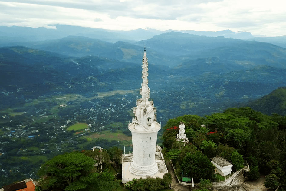
Kehelpathdoruwa
Kehelpathdoruwa mountain is located in Sri Lanka's central highlands, on the eastern edge of the Knuckles Mountain Range. The Kehelpathdoruwa mountain rises 1,400 m above sea level (4,593 ft).
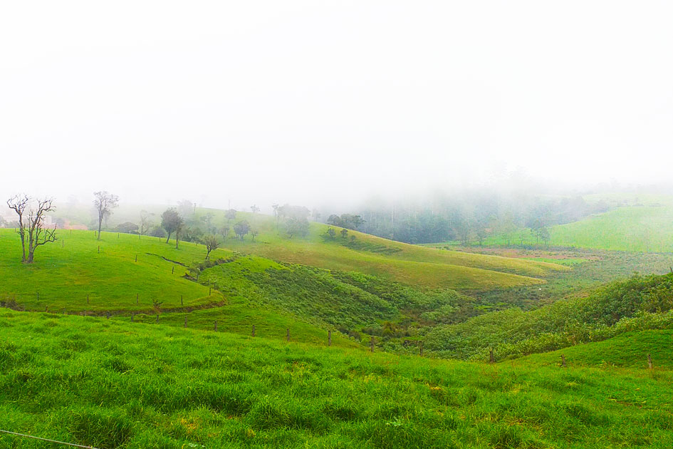
Yahangala lies close to Kehelpathdoruwa Mountain, and in the distance, Walimbe Hela, Wasgamuwa, Hettipola, and Handungamuwa may be seen in the Ampara District.
Lakegala can be viewed in Kehelpathdoruwa, and behind it are the adjoined mountains Narangamuwa Lakegala and, in the distance, the Knuckles Mountain Range mountains Kandupaha, Aliyakotagala, Kodiyabandahinna, and Thunhisgala.
Kandy district region may be seen in the distance with the hills of Ududumbara, Nawanagala, and Namunukula. On a clear day without fog, you can view Sorabora Wawa, Mapakada Wawa, and the Randenigala Reservoir in the distance from Mahiyanganaya, and if you're lucky, you can see the Parakrama Samudra in the distance.
Location Map to Kehelpathdoruwa
Learn before you go Kehelpathdoruwa
The hike is only about 15 km long, but it is extremely exhausting and dangerous.
Travel early in the morning because the afternoons may be dreary and overcast.
It is strongly advised to use proper abseiling equipment. Python and Wild Elephant attacks are also possible in this area.
Leech protection practices are advised.
If you are unfamiliar with pilot hiking, seek local assistance.
Bring lots of water if you plan to camp there. There are no water sources on top of Kehelpathdoruwa or Yahangala. Some sources may exist underneath and between the mountains, but accessing them proved extremely challenging.